Title
Humminbird 600050-1 Lakemaster Satellite View
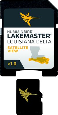
Humminbird® LakeMaster® offers high resolution satellite photography of the Louisiana Delta on one micro card (with SD adaptor). Always know where you are with real life aerial views of shorelines, waterways, landmarks, obstructions, roads, marinas, canals, and channels. Also includes nav aids, lake names, points of interest and more.
Humminbird® LakeMaster® offers high resolution satellite photography of the Louisiana Delta on one micro card (with SD adaptor). Always know where you are with real life aerial views of shorelines, waterways, landmarks, obstructions, roads, marinas, canals, and channels. Also includes nav aids, lake names, points of interest and more.
Recently viewed products
Your cart
Your cart is empty
Recently viewed products
- Choosing a selection results in a full page refresh.
- Opens in a new window.